Eastern Mojave Vegetation
Tom Schweich
|
Eastern Mojave Vegetation
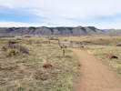
| Cretaceous Trail, South Table Mountain Park, Jefferson County, Colorado |
|
Tom Schweich |

|
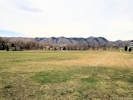
Trail provides access to South Table Mountain at its eastern portion. | ||
|
Other articles:
|
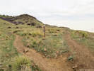
Junction: Basalt Top Loop | ||
|
Other articles:
|
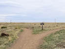
Junction: Tertiary Trail The Tertiary Trail continues north to the Basalt Top Loop on top of the mesa. | ||
|
Other articles:
|
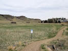
The sign lists the agencies that worked on the trail. They include NREL, Jefferson County Open Space, Wilderness Restoration Volunteers, and one other I can't recognize in the photograph. | ||
|
Other articles:
|
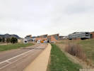
Cross Denver West Parkway The trail parallels Denver West Parkway to the west until it turns south into Camp George West Park. | ||
|
Other articles:
|
|||
|
Other articles:
|
|||
|
Other articles:
|
|||
|
Other articles:
|
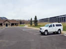
Camp George West Park parking lot. | ||
|
Other articles:
|
Junction: Kilmer Street
Date and time this article was prepared:
5/12/2025 2:48:45 PM
|