 Eastern Mojave Vegetation
|
Eastern Mojave Vegetation
| Sailboat on Woahink Lake |
|
|

If you have a question or a comment about this photograph you may write to me at: tomas@schweich.com I sometimes post interesting questions in my FAQ, but I never disclose your full name or address. |
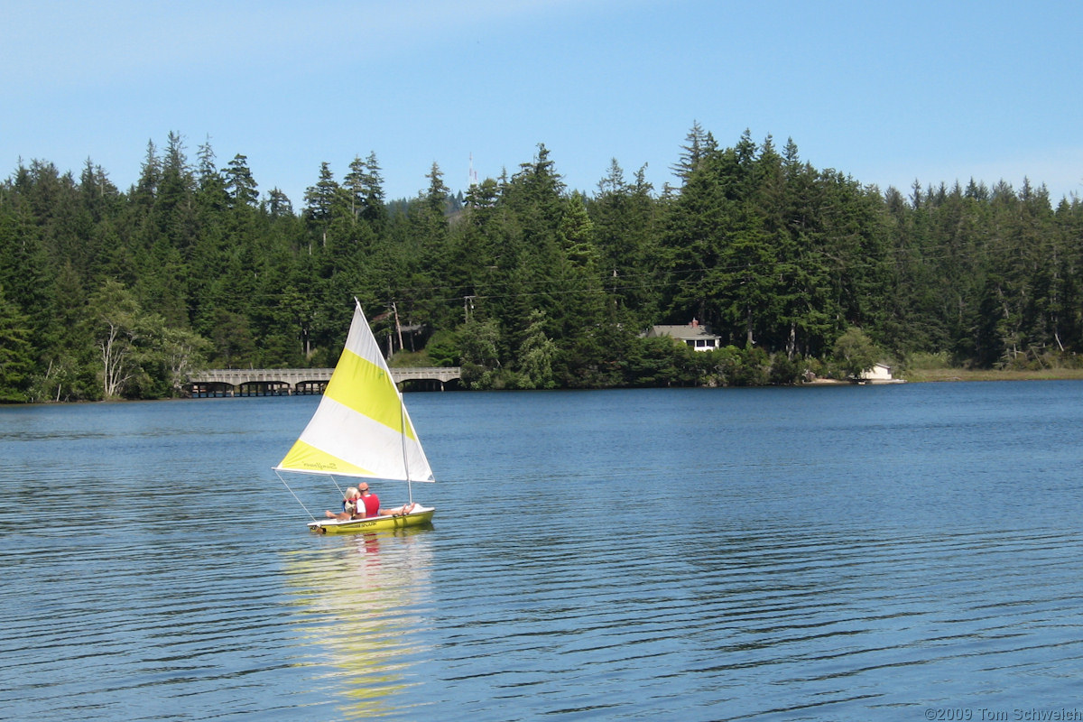
Photograph taken 15 Sept 2009. Woahink Lake is located on the central Oregon coast south of the city of Florence and about three miles inland from the Pacific Ocean. Its southern end lies adjacent to US Highway 101, so that it is seen by all travelers on this major arterial. The lake basin owes its origin to the fluctuations in sea level that accompanied the latter stages of the Pleistocene Epoch, alternating periods of submergence and emergence of the coastal zone (Cooper 1958). During periods of submergence, the mouths of coastal streams were inundated by the higher water level. Many small streams lacked the erosive ability to prevent the obstruction of their mouths by sediment impoundments. Woahink Lake, lying on a marine terrace, was formed in this manner. The stream system that was inundated to form the lake basin was probably a tributary of the ancestral Siltcoos River. The water surface of Woahink Lake is 38 feet above mean sea level, and the bottom at its deepest point is 74 feet deep, or about 36 feet below sea level, the lowest of any of the sand-dune dammed lakes on the Oregon coast. Thus, the Woahink Lake basin is a deep, steep-walled cryptodepression.
Article records that use this photograph:
Other photos about Geography - Oregon or Lane County.
|
|
Date and time this page was prepared: 5/12/2025 3:03:49 PM |