 Eastern Mojave Vegetation
|
Eastern Mojave Vegetation
| Devil Peak at the south end of the Mesquite Valley |
|
|

If you have a question or a comment about this photograph you may write to me at: tomas@schweich.com I sometimes post interesting questions in my FAQ, but I never disclose your full name or address. |
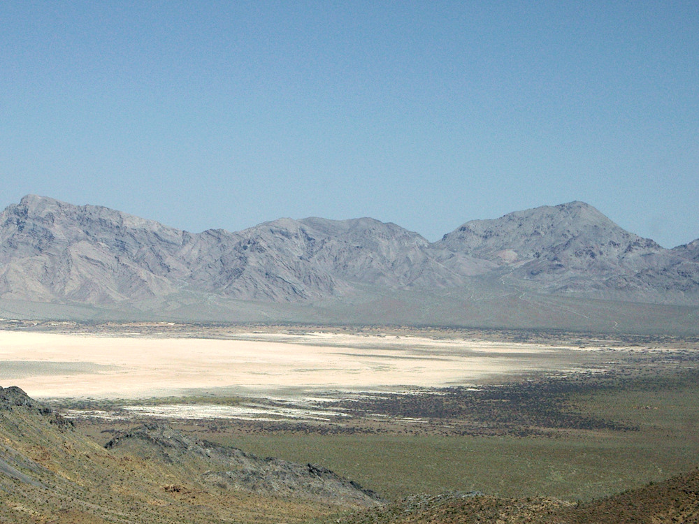
Photograph taken 21-April-2005. The peak at right is Devil Peak. Devil Peak is a small (~2.5 km diameter) hypabyssal rhyolite dome that intruded into Paleozoic carbonate strata of the southern Spring Mountains (Guest, et al., 2007). It is also the probable source for megabreccia sheets, pyroclastic deposits, and obsidian rock avalanche deposits that make up the crest of Black Butte. These deposits are evidence for about 30 km of dextral slip along the Stateline Fault System.
Location records that use this photograph:
Article records that use this photograph:
Other photos about Geography - Nevada or Spring Mountains.
|
|
Date and time this page was prepared: 5/12/2025 3:03:40 PM |