 Eastern Mojave Vegetation
 Eastern Mojave Vegetation
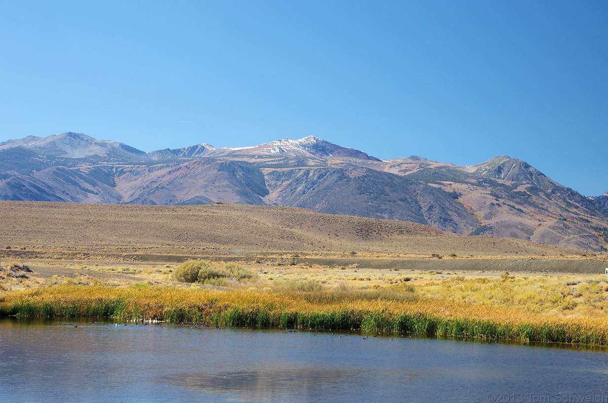
| View west across County Ponds. |
|
|

If you have a question or a comment about this photograph you may write to me at: tomas@schweich.com I sometimes post interesting questions in my FAQ, but I never disclose your full name or address. |

Photographed 5 October 2013. The brown hump in the left middleground is Black Point, a surtseyan volcano. The snow covered peak in the center is Mount Warren, with Lee Vining Peak at left, and Mount Gilcrest at right. The broad plateau below Mount Warren is a likely relict terrain from the relatively recent Sierran uplift. I have heard it called the “Warren Bench.” However, GNIS does not supply a name for this feature, but does recognize a “Warren Bench” to the south, just west of Big Pine, California.
Location records that use this photograph:
Article records that use this photograph:
Other photos about Geography - Mono Lake Basin, California or County Ponds.
|
|
Date and time this page was prepared: 5/12/2025 3:03:27 PM |