Eastern Mojave Vegetation A New Community Sprouts Roots.  


Home Page
If you have a question or a comment about this photograph you may write to me at: tomas@schweich.com I sometimes post interesting questions in my FAQ, but I never disclose your full name or address.
  New Mexico, Mora County, Watrous
Photographed 26 April 2021.

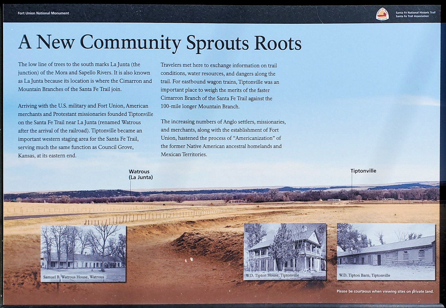
A New Community Sprouts Roots
The low line of trees to the south marks La Junta (the junction) of the Mora and Sapello Rivers. It is also known as La Junta because its location is where the Cimarron and Mountain Branches of the Santa Fe Trail join

Arriving with the U. S. military and Fort Union, American merchants and Protestant missionaries founded Tiptonville on the Santa Fe Trail near La Junta (renamed Watrous after the srrival of the railroad). Tiptonville became an important western staging area for the Santa Fe Trail, serving much the same function as Council Grove, Kansas, at its eastern end.

Travelers met here to exchange information on trail conditions, water resources, and dangers along the trail. For eastbound wagon trains, Tiptonville was an important place to weight the merits of the faster Cimarron Branch of the Santa Fe Trail against the 100-mile longer Mountain Branch.

The increasing numbers of Angle settlers, missionaries, and merchants, along with the establishment of Fort Union, hastened the process of “Americanization” of the former Native American ancestral homelands and Mexican Territories.

Location records that use this photograph:

Article records that use this photograph:

Other photos about Geography - New Mexico or Watrous.


[Home Page]

Date and time this page was prepared: 1/5/2025 2:38:28 PM