Lay of the Land: Across a Vast Horizon
“To a life that accepts Nature's hand in sculpting an
individual expression – Nothing is exempt.
From the mellifluous rhythm and tome of the wid chime,
to the transitional form of the cloud –
Nothing exists alone.
All things thrive and whither in confluence with one another.
So it is; the paradox of our divinity.”
– Dave Buschow
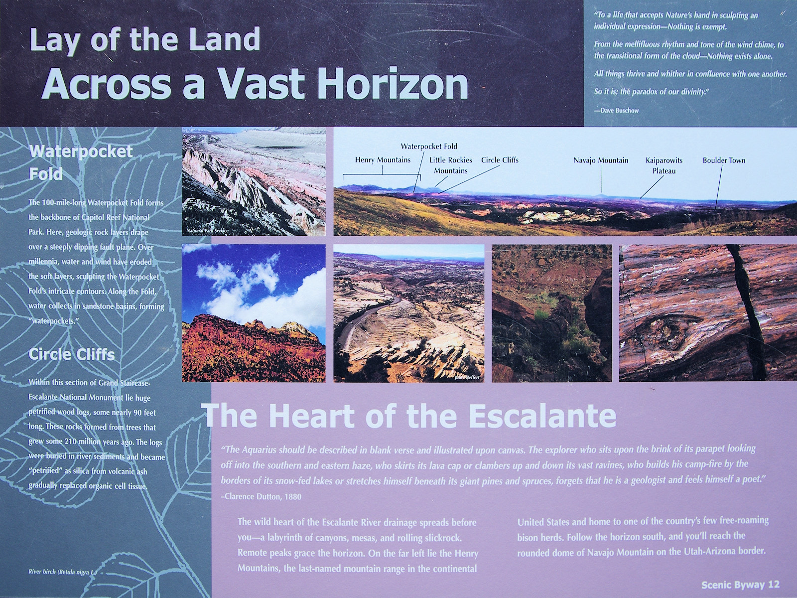
Waterpocket Fold
The 100-mile-long Waterpocket Fold forms the backbone of Capitol Reef National Park.
Here, geologic rock layers drape over a steeply dipping fault plane.
Over millennia, water and wind have eroded the soft layers,
sculpting the Waterpocket Fold's intricate contours.
Along the Fold, water collects in sandstone basins,
forming “waterpockets.”
Circle Cliffs
Within this section of Grand Staircase - Escalante National Monument
lie huge petrified wood logs, some nearly 90 feet long.
These rocks formed from trees that grew some 210 million years ago.
The logs were buried in river sediments and became “petrified”
as silica from volcanic ash gradually replaced organic cell tissue.
The Heart of the Escalante
“The Aquarius should be described in blank verse and illustrated upon canvas.
The explorer who sits upon the brink of its parapet looking off into the southern and eastern haze,
who skirts its lava cap or clambers up and down its vast ravines,
who builds his camp fire by the borders of its snow-fed lakes
or stretches himself beneath its giant pines and spruces,
forgets that he is a geologist and feels himself a poet.”
– Clarence Dutton, 1880
The wild heart of the Escalante River drainage spreads before you
– a labyrinth of canyons, mesas, and rolling slickrock.
Remote peaks grace the horizon.
On the far left lie the Henry Mountains,
the last-named mountain range in the continental United States
and home to one of the country's few free-roaming bison herds.
Follow the horizon south, and you'll reach the rounded dome of Navajo Mountain on the Utah-Arizona border.
|
 Eastern Mojave Vegetation
 Eastern Mojave Vegetation

