If you have a question or a comment about this photograph you may write to me at:
tomas@schweich.com
I sometimes post interesting questions in my FAQ, but I never disclose your full name or address.
|

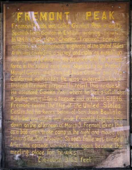
Photograph taken 28-Apr-07.This interpretive sign is at the upper parking lot, near the trailhead for the peak trail. | Fremont Peak was called Gavilan Peak in early Spanish times, Gavilan in English meaning hawk. In 1846, Capt. John Charles Fremont brevet captain of topographical engineers of the United States Army, was conducting a survey and exploring expedition in Oregon and California. His presence with an armed force in the settled area was objected to by Prefect Manuel Castro and General Jose Castro and the California authorities. He was ordered to leave. Instead Fremont prepared to resist this request. He ascended Gavilan Peak where he built a fort of logs. A sapling was cut for a flagpole and on March 6, 1846, Fremont raised the flag of the United States. Castro had his forces below at San Juan Bautista. But before any attack was made, Fremont's flagpole blew down on the afternoon of March 9. Fremont taking this as a bad omen broke camp in the night and moved on toward the San Joaquin. So open battle was avoided. After this episode Gavilan Peak again became the meeting place for hawks. | | Elevation 3169 feet. |
Location records that use this photograph:
Article records that use this photograph:
- San Benito County Route G1:
89000.
Other photos about Geography - California or Fremont Peak.
|
|
[Home Page]
Date and time this page was prepared:
3/23/2025 6:12:22 PM
|
|
 Eastern Mojave Vegetation
 Eastern Mojave Vegetation

