Eastern Mojave Vegetation
Tom Schweich
|
Eastern Mojave Vegetation
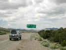
| Nevada Highway 266 |
|
Tom Schweich |

|
(No Preface) | |||||||||||||||||
|
Other articles:
|
Junction: California Highway 168, west through Deep Springs Valley to Big Pine on U. S. Highway 395. | |||||||||||||||||
|
|
Palmetto | |||||||||||||||||
|
Other articles:
|
Junction: Palmetto Wash Road | |||||||||||||||||
|
Other articles:
|
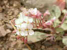
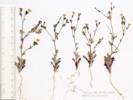
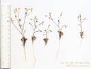
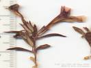
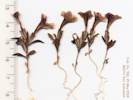
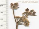
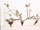
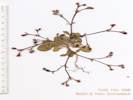
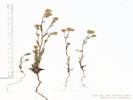
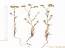
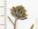
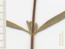
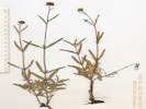
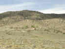
South of the road is a small patch of Sagebrush. I found many different plants around the edges of the Sagebrush in the ecotone between the Sagebrush and the Pinyons. | |||||||||||||||||
|
Other articles:
|
| |||||||||||||||||
|
Other articles:
|
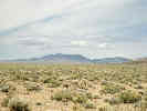
Lida Summit | |||||||||||||||||
|
Other articles:
Locations:
Magruder Mountain.
|
Magruder Mountain | |||||||||||||||||
 Lida Lida
|
||||||||||||||||||
|
Other articles:
Locations: Lida. |
Lida"Known as a contact point for Shoshone and Northern Paiute Indians, Lida Valley was the site of early prospecting in 1860's. Later prospectors organized a mining district in 1867 and laid out the town in 1872. Soon stores, shops, stables and a post office were established. Some ore was milled locally, yet high-grade ore ($500-$1,000 per ton) was treated at Austin or Belmont. After 1880 mining declined. Lida revived and thrived for three years during the Goldfield boom but declined again in 1907. Mining efforts resumed a few years later, and a small community existed here until World War I. (Nevada Historical Marker 157)"Later, having returned home and doing some research on the Internet, I learned that the town site of Lida comprises 124 lots all owned by Jack Vogt, a local cattle rancher. The ranch is for sale, with an offering price of $20,000,000.00. Included in the property are the historic town sites of Lida, Pigeon Spring, and Palmetto, as well as 2,882 acres and ten mining claims. | |||||||||||||||||
 Lida Lida
|
||||||||||||||||||
|
Other articles:
|
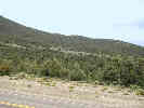
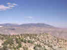
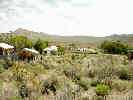
This photograph was taken from near the intersection of Nevada Highway 266 and Nevada Highway 774, the road to Gold Point. Magruder Mountain in the right center. The range in right center are the Palmetto Mountains. Lida is in the valley between Magruder Mountain and the Palmetto Mountains. | |||||||||||||||||
| Junction: Road to Gold Point. | ||||||||||||||||||
|
Literature Cited:
Other articles:
|
Junction: Nevada Highway 774, to Gold Point | |||||||||||||||||
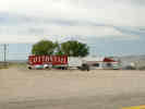 Cottontail Ranch brothel at Lida Junction. Cottontail Ranch brothel at Lida Junction.
|
||||||||||||||||||
|
Other articles:
|
Lida JunctionJunction: U. S. Highway 95, north to Goldfield, or south to Beatty. | |||||||||||||||||
| If you have a question or a comment you may write to me at: tomas@schweich.com I sometimes post interesting questions in my FAQ, but I never disclose your full name or address. |
Date and time this article was prepared: 5/12/2025 2:57:37 PM |