If you have a question or a comment about this photograph you may write to me at:
tomas@schweich.com
I sometimes post interesting questions in my FAQ, but I never disclose your full name or address.
|

Photograph taken June 9, 2008.
|
Mokaac Trail
|
|
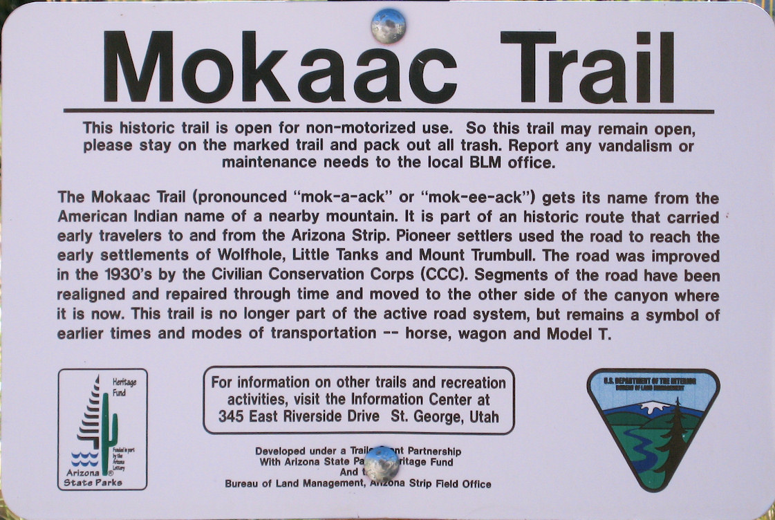
This historic trail is open for non-motorized use. So this trail may remain open, please stay on the marked trail and pack out all trash. Report any vandalism or maintenance needs to the local BLM office.
|
|
The Mokaac Trail (Pronounced "mok-a-ack" or "mok-ee-ack") gets its name from the American Indian name of a nearby mountain. It is part of an historic route that carried early travelers to and from the Arizona Strip. Pioneer settlers used the road to reach the early settlements of Wolfhole, Little Tanks, and Mount Trumbull. The road was improved in the 1930's by the Civilian Conservation Corps (CCC). Segments of the road have been realigned and repaired through time and moved to the other side of the canyon where it is now. This trail is no longer part of the active road system, but remains a symbol of earlier times and modes of transportation -- horse, wagon, and Model T.
|
Article records that use this photograph:
Other photos about Geography - Arizona or Arizona, Mohave County.
|
|
[Home Page]
Date and time this page was prepared:
4/21/2025 8:32:41 PM
|
|
 Eastern Mojave Vegetation
 Eastern Mojave Vegetation

