If you have a question or a comment about this photograph you may write to me at:
tomas@schweich.com
I sometimes post interesting questions in my FAQ, but I never disclose your full name or address.
|

Photographed 18 June 2018.
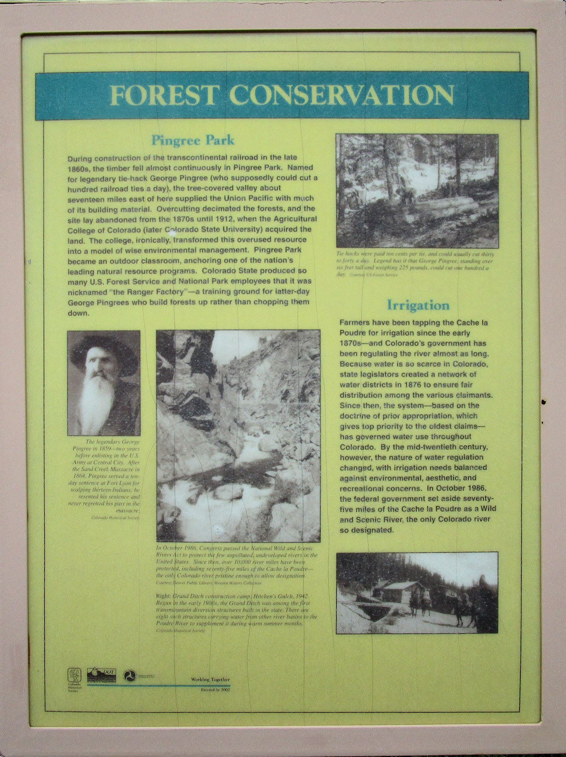
Forest Conservation
|
Pingree Park
During the construction of the transcontinental railroad in the late 1860s,
the timber fell almost continuously in Pingree Park.
Named for the legendary tie-hack George Pingree
(who supposedly could cut a hundred ties a day),
the tree-covered valley about seventeen miles east of here supplied the
Union Pacific with much of its building material.
Overcutting decimated the forests,
and the site lay abandoned from the 1870s until 1912,
when the Agricultural College of Colorado
(later Colorado State University)
acquired the land.
The college, ironically,
transformed this overused resource into a model of wise environmental management.
Pingree Park became an outdoor classroom,
anchoring one of the nation's leading natural resource programs.
Colorado State produced so many U.S. Forest Service
and National Park employees that it was named
“the Ranger Factory”
— a training ground for latter-day George Pingrees
who build forests up rather than chopping them down.
| |
The legendary George Pingree in 1859
— two years before enlisting in the U. S. Army at Central City.
After the Sand Creek Massacre in 1864,
Pingree served a ten-day sentence at Fort Lyon
for scalping thirteen Indians.
He resented his sentence and never regretted his part in the massacre.
| |
In October 1986, Congress passed the
National Wild and Scenic Rivers Act to protect the few unpolluted,
undeveloped rivers in the United States.
Since then, over 10,000 river miles have been protected,
including seventy-five miles of the Cache la Poudre
— the only Colorado river pristine enough to allow designation.
| |
Right:
Grand Ditch construction camp, Hitchen's Gulch, 1942.
Begun in the early 1900s, the Grand Ditch was among the first transmountain diversion structures built in the state.
There are eight such structures carrying water from other river basins
to the Poudre River to supplement it during warm summer months.
| |
Tie-hacks were paid to cents per tie,
and could usually cut thirty to forty a day.
Legend has it that George Pingree,
standing over six feet tall and weighing 225 pounds,
could cut one hundred a day.
|
Irrigation
| |
Farmers have been tapping the Cache la Poudre for
irrigation since the early 1870s
— and Colorado's government has been regulating
the river almost as long.
Because water is so scarce in Colorado,
state legislators created a network of water districts in 1876
to ensure fair distribution among the various claimants.
Since then, the system
— based on the doctrine of prior appropriation,
which gives top priority to the oldest claims —
has governed water use throughout Colorado.
By the mid-twentieth century,
however, the nature of water regulation changed,
with irrigation needs balanced against environmental,
aesthetic, and recreational concerns.
In October 1986,
the federal government set aside seventy-five miles
of the Cache la Poudre as a Wild and Scenic River,
the only Colorado river so designated.
|
Location records that use this photograph:
Article records that use this photograph:
Other photos about Geography - Colorado or Cameron Pass.
|
|
[Home Page]
Date and time this page was prepared:
5/12/2025 3:02:42 PM
|
|
 Eastern Mojave Vegetation
 Eastern Mojave Vegetation

